Oxley Creek Transformation
Transforming the Oxley Creek corridor from the Brisbane River to Larapinta into a world class green, lifestyle and leisure destination.
About the project
Brisbane City Council has committed $100 million over 20 years to transform Oxley Creek, from its mouth at the Brisbane River to Larapinta, into a world-class green lifestyle and leisure destination.
Established in 2017, the Oxley Creek Transformation project plans, develops and manages Brisbane’s newest recreational asset in partnership with government, businesses, industry and residents.
We are committed to:
- reducing the impacts of industry and development on the creek and its surrounds
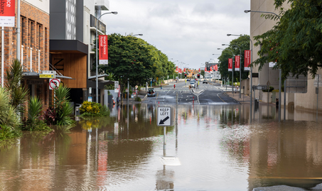
- embedding flood resilience into the corridor
- growing a rich network of green spaces
- transforming the Oxley Creek corridor into a vast multi-use parkland
- attracting investment to unlock economic potential
- collaborating with business, industry, government and the community.
About Oxley Creek
Oxley Creek is one of the major tributaries of the Brisbane River. It is Brisbane’s longest creek and the only sand-based creek in the city.
Beginning in the forested mountain ranges of the Scenic Rim, south of Ipswich, it joins the Brisbane River approximately 70 kilometres downstream at Tennyson. Oxley Creek has a natural drainage area of 270 square kilometres, spread across three local government areas, making it Brisbane’s largest creek catchment.
Due to historical sand mining, land clearing and industrial uses on surrounding land, Oxley Creek faces significant environmental challenges. Transforming the impacts of industry and development on a creek system that still bears the scars of yesterday’s activities is a major challenge.
The Oxley Creek Transformation project is the next stage of our work towards improving the environmental health of Oxley Creek and making it a place for the people of Brisbane to enjoy. It builds on the achievements of the Lord Mayor’s Oxley Creek Catchment Taskforce, as well as past on-ground works delivered through Habitat Brisbane, Community Conservation Partnerships programs, and many other projects and programs championed by both Council and community groups over the years.
Our vision for Oxley Creek
Oxley Creek will be transformed into a world-class green, lifestyle and leisure destination, befitting our New World City.
The Master Plan
The Oxley Creek Transformation Master Plan, developed in consultation with key stakeholder groups and the local community, translates our ambition to create a world-class green, lifestyle and leisure destination. Recognising the environment as central to our city’s liveability, it outlines strategies and priority projects to enhance and rehabilitate our most urbanised waterway.
An eclectic collection of grassy paddocks, quiet playgrounds, unkept green spaces, pocket parks, open wetlands and a string of former industrial sites along Oxley Creek will be transformed into a vast multi-use parkland, environmental asset and tourist destination.
A range of initiatives presented in the Master Plan have been selected as a focus for investment over the short to medium-term.
Warril Parkland
The first stage of Warril Parkland in Larapinta is now open. The new parkland has plenty to fire the imagination, with an exciting nature-based playground incorporating water-play, a lakeside boardwalk and pontoon, as well as birdwatching and picnic facilities, all set against the background of a picturesque lake.
Archerfield Wetlands
Archerfield Wetlands, a priority project identified in the Oxley Creek Transformation Master Plan, will become a major new recreation, education and environmental parkland.
Located in the heart of the 20-kilometre Oxley Creek corridor, south of the Ipswich Motorway and adjacent to Archerfield Airport, the 150-hectare Archerfield Wetlands site will not only cater to the needs of the local community, but will become a unique destination with the Oxley Creek corridor for all Brisbane residents and visitors.
Download the Archerfield Wetlands Precinct Plan (PDF, 8MB)
Graceville Riverside Parklands
Enhancements are proposed to the Graceville Riverside Parklands to improve the function, character, and identity of park features already appreciated by the community while establishing a key gateway into the Oxley Creek corridor and a hub for water-based recreation.
Final Precinct Plan released
The Graceville Riverside Parklands Precinct Plan has been finalised. Thank you to the local community and all our stakeholders who provided feedback during the engagement period. Your advice and insight have been invaluable in finalising the Precinct Plan.
Planning will now commence to identify small scale outcomes that can be delivered in the short term.
Graceville Riverside Parklands Precinct Plan (PDF, 18Mb)
Community Engagement Feedback
The finalised Precinct Plan has been shaped by the feedback provided during the community engagement period. The feedback received clearly demonstrated community support for the following:
Open greenspace: Improved picnic facilities and lawn space to support informal play, with a focus on accessibility for all.
Access to The Greenway: A future 20-kilometre recreational walking and cycling trail along the Oxley Creek corridor.
Water-based recreation: Improved access for water-based activities, catering for all levels of experience and abilities, including the provision for upgraded facilities for Brisbane Canoeing.
Viewing Terrace: A place to sit and enjoy the riverside location of the parklands.
The feedback also identified a number of community concerns. These concerns have been addressed in the finalised Precinct Plan. Details on how these concerns were addressed can be found in the Community Engagement Summary Report (PDF, 299Kb).
The Oxley Creek Paddle Trail
In the coming years, a journey along the creek from the pontoon at Graceville Riverside Parklands will open up a world of new experiences, inaccessible from the bank edge. Paddle for exercise or pleasure and follow the creek to spot migratory water birds, shy aquatic creatures and stop off at peaceful picnicking sites. More information on this project to come.
Oxley Creek Common
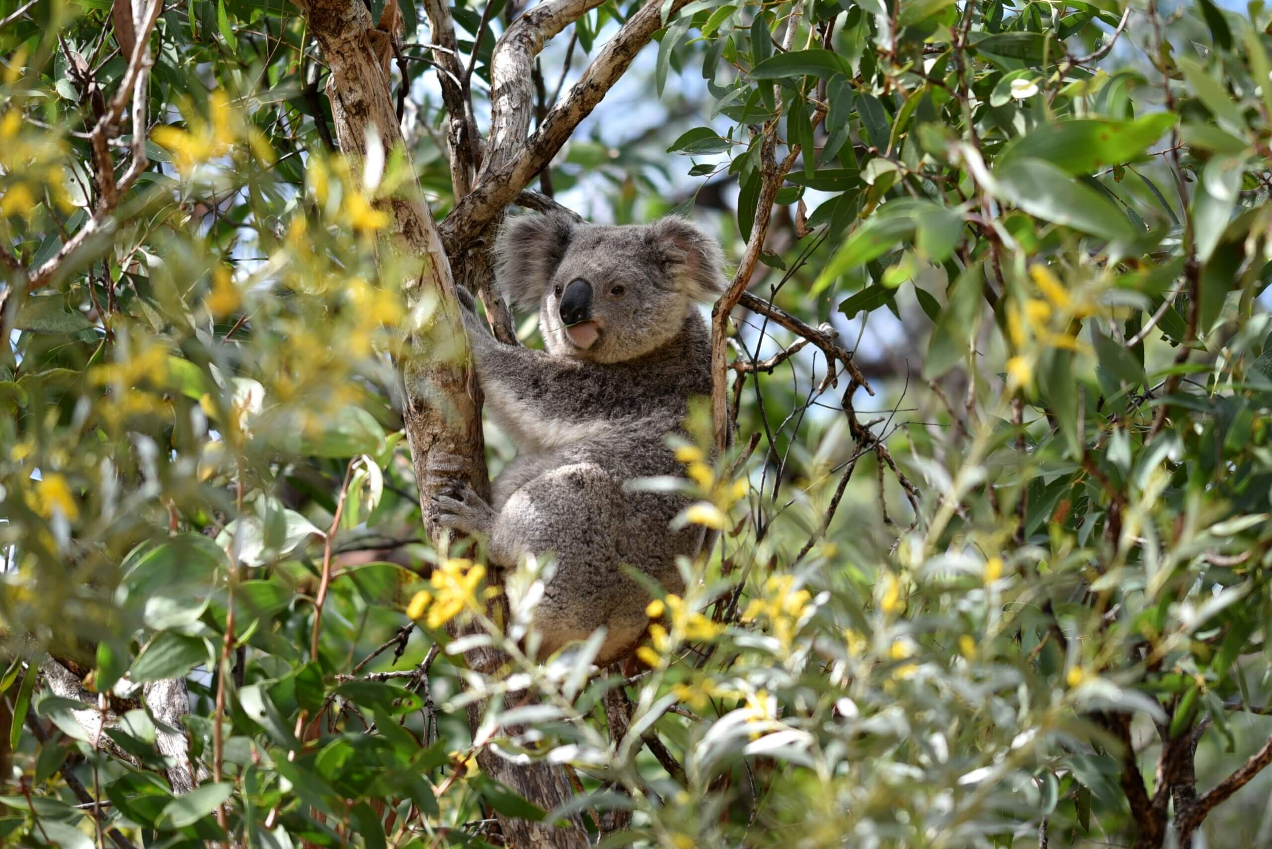
Oxley Creek Common is already one of Brisbane’s best birding spots, and it has the potential to become a world-renowned birdwatching destination, drawing birders, ornithologists and nature lovers from across the nation and globe. Despite the Common’s urban location just seven kilometres from the Brisbane CBD, one quarter of Australia’s native bird species have been spotted onsite, along with migratory birds from as far away as Japan and Russia. The large open space hosts significant wetlands and is bounded on two sides by Oxley and Stable Swamp Creeks, which together provide habitat for diverse bird species.
Future investment will focus on enhancing and expanding this habitat to attract more native fauna species, particularly birds, and support a richer array of flora. The Common will become a place where visitors and locals can learn about biodiversity, sustainability and ornithology and enjoy the natural world.
Bookings of The Red Shed
Oxley Creek Common, including The Red Shed, is managed by the Department of Primary Industries (Queensland Government). For all enquiries and feedback relating to Oxley Creek Common, including hire and bookings of The Red Shed, please email [email protected]
The Greenway
Wander shady paths through eucalypt forests, stroll along boardwalks that cross wetlands brimming with birdlife, go frog spotting around still ponds or work up a sweat hiking bush circuits on The Greenway.
Stretching from the Brisbane River, 20 kilometres to Larapinta, The Greenway is destined to become one of Brisbane’s most popular recreational walking and cycling trails and a tourism icon for the city.
Largely following Oxley Creek for its entire route, The Greenway’s mix of paved and gravel paths will take walkers and cyclists through many different landscapes from serene wetland parks to open grasslands, untouched bushland pockets and small recreational hubs hosting ecotourism activities and community events.
The Greenway will become the central spine for moving through the Oxley Creek corridor, acting as the unifying physical element for all destinations. It will also provide easy access to side trails for bushwalking, birdwatching and interpretive learning, while linking into broader local walking and cycling networks.
Embellished with public artwork and interpretive signage, The Greenway will contain the essential wayfinding tools and information that visitors need to navigate the entire parkland. Traversing it will become the defining experience of visiting Oxley Creek.
Corridor Restoration Project
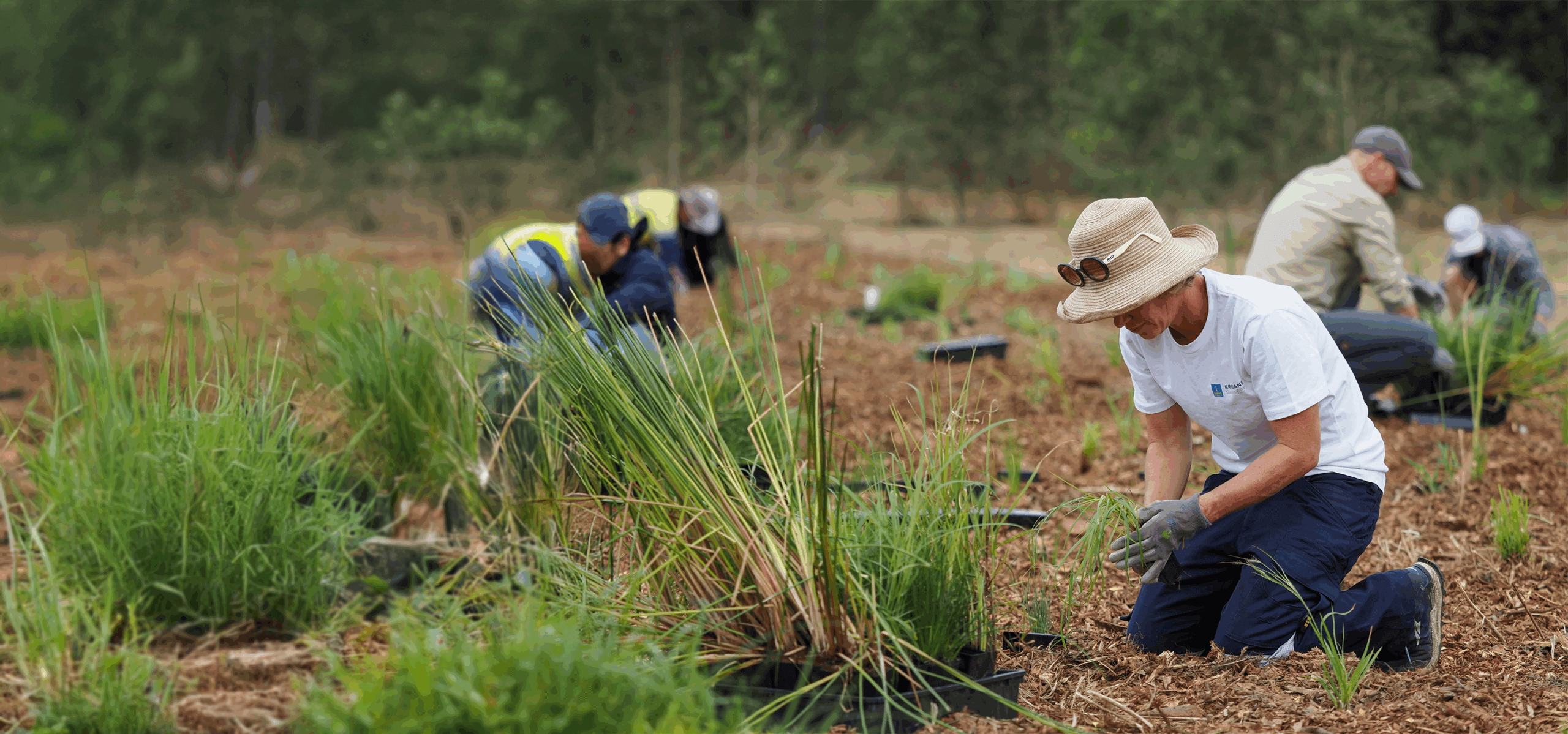
Improving the environmental health of Oxley Creek is key to creating a legacy for Brisbane’s natural environment. The Corridor Restoration Project details the approach to improving the health and condition of Oxley Creek, and the land corridor that borders the creek, within the Brisbane Local Government Area. The project provides a framework and methodology for understanding the corridor’s current environmental condition as well as identifying goals, objectives and opportunities for condition improvement.
Visit Oxley Creek
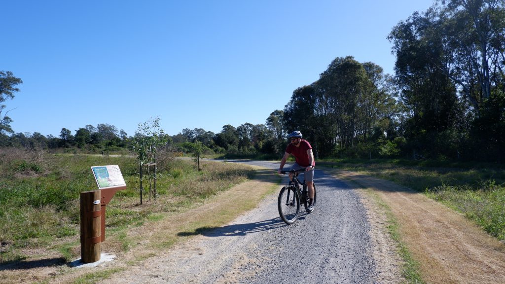
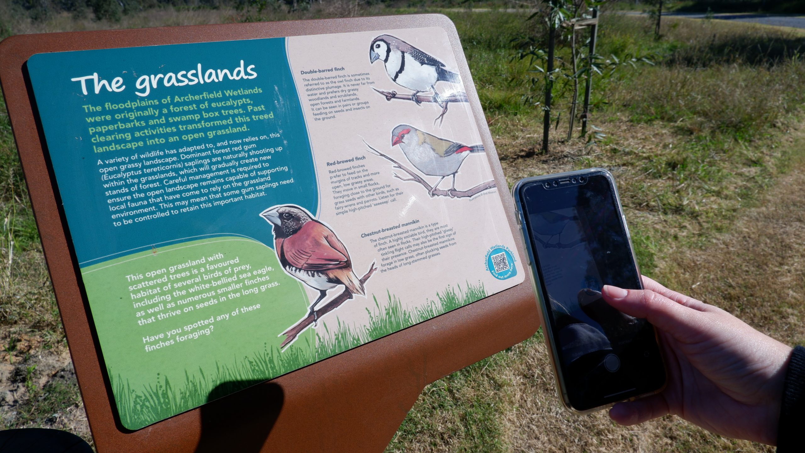
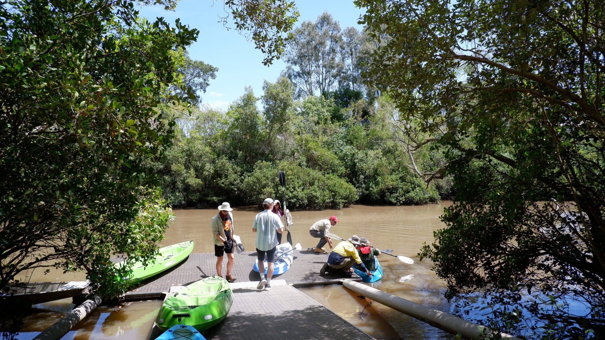
Enjoy the great outdoors in one of Oxley Creek’s numerous parklands. Find adventure in the nature-based playground, become a Green Heart Ranger and explore the local fauna and flora. Get active on one of the tracks and trails.

