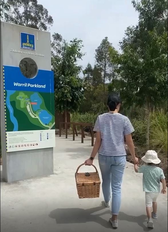
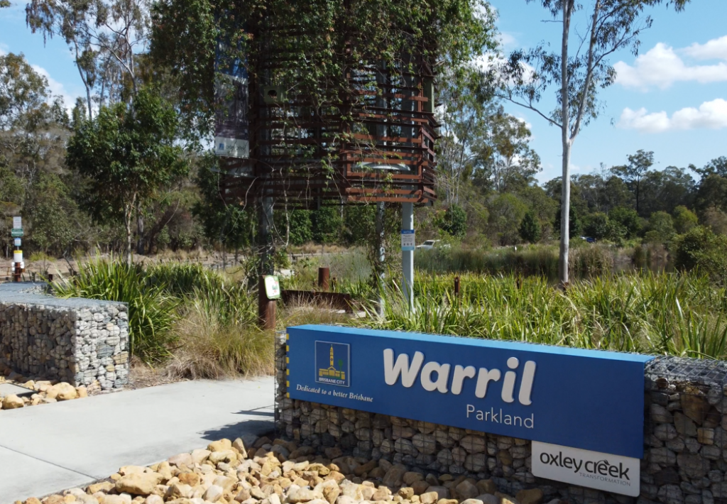
Warril Parkland
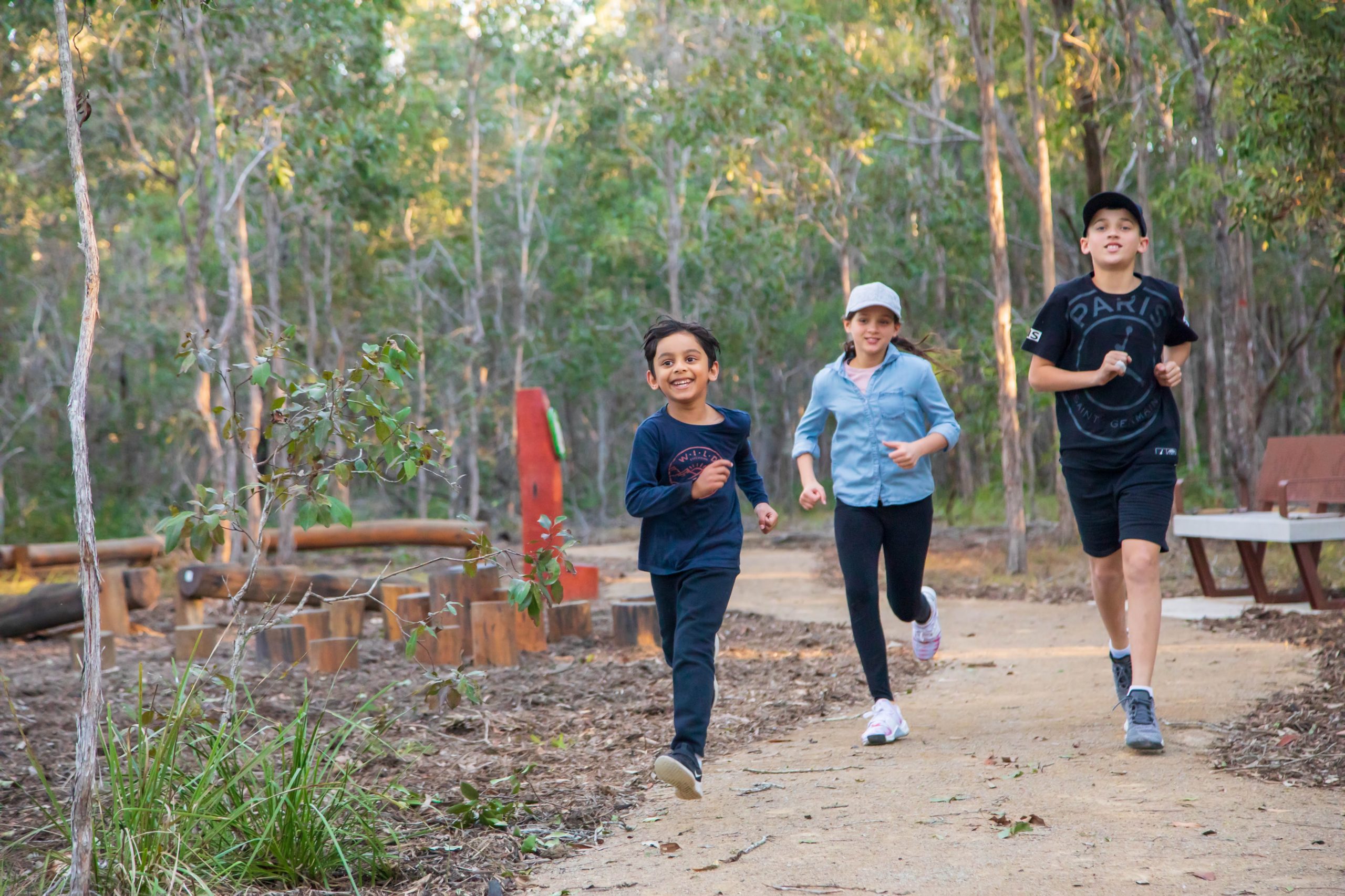
Explore the bushland, make mud pies at the billabong or build a cubby house, excitement awaits at Warril Parkland, one of the corridor’s southern-most reserves.
About this destination
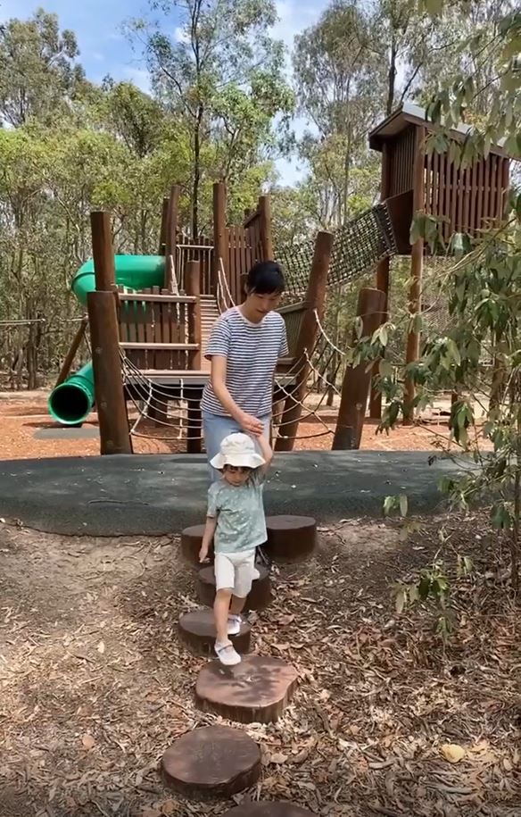
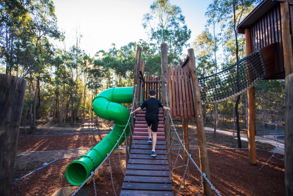
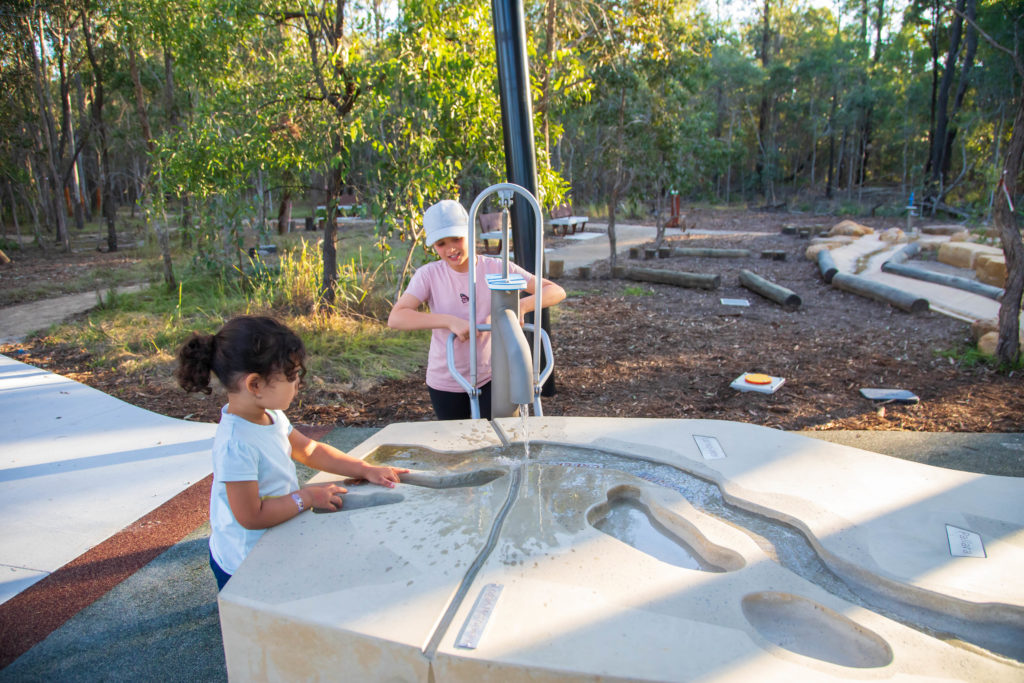
Warril Parkland in Larapinta has plenty to fire the imagination, with creative play spaces for children, bushwalking and bicycle trails and picnicking facilities.
The parkland is home to the Warril Parkland Discovery Trail. The trail, part of the Green Heart Ranger Program, encourages children of all ages to interpret their natural surroundings by learning about the parkland’s history, animals and plants.
Things to do
Warril Parkland focuses on providing a foundation for nature-based adventure, including:
- nature-play playground, incorporating water-play
- Green Heart Ranger activities and challenges for kids of all ages
- lake edge boardwalk and pontoon
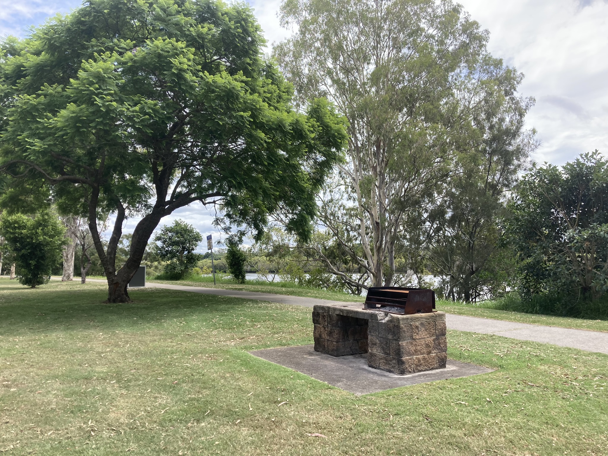
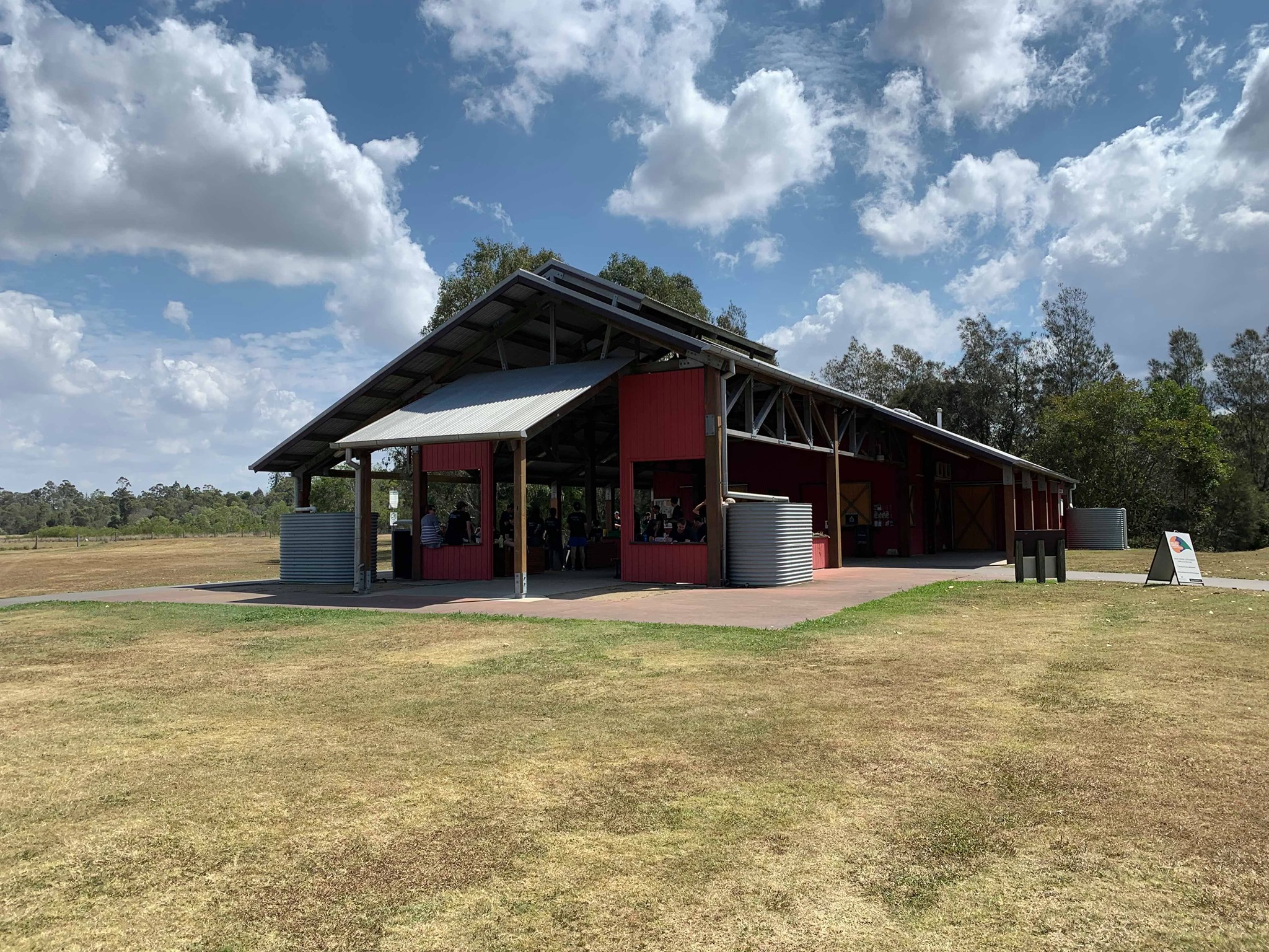
- shaded picnic areas with two BBQs and seating for 16-20 people per shaded space
- onsite toilets and car parking
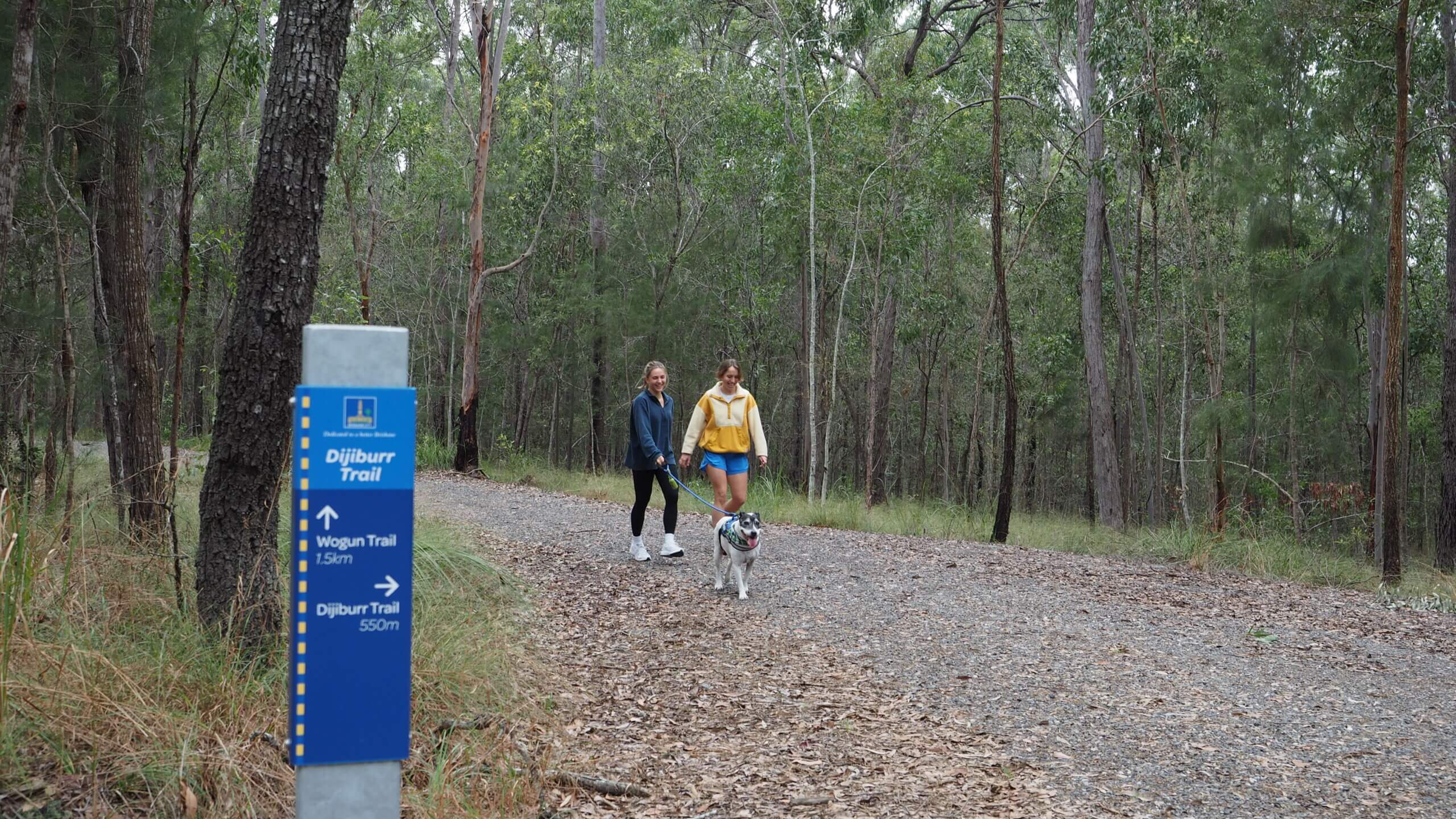
- bushwalking and off-road cycling opportunities.
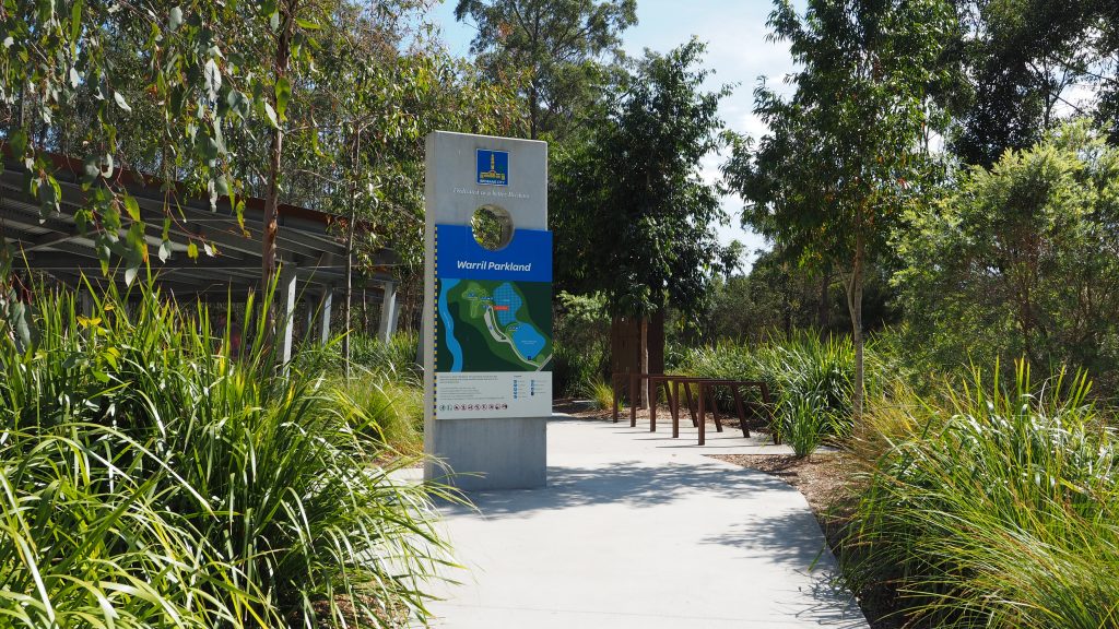
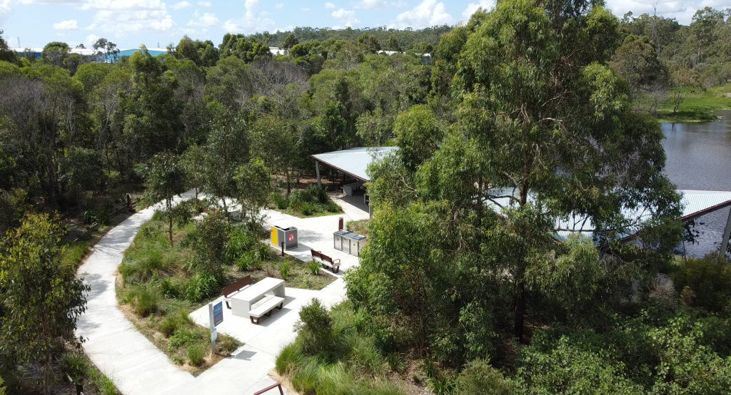
For more information on cycling and walking trails at Warril Parkland, including downloadable maps, visit Tracks and Trails.
Warril Parkland Discovery Trail
Green Heart Ranger Program
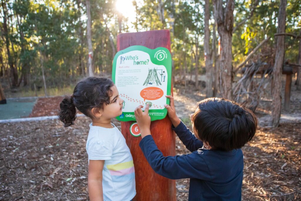
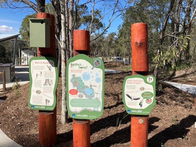
The Green Heart Ranger Program is a fun way for children to explore the parks and open spaces of Oxley Creek.
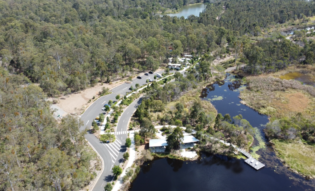
Warril Parkland, located on Paradise Road at Larapinta, contains 84 hectares of bushland. This bushland is part of the largest remaining continuous stretch of open eucalypt forest in South East Queensland, known as the Flinders-Karawatha Forest Corridor.
The forest and lakes of Warril Parkland are home to many land and water animals. In the past this land was also a place where First Nations People camped and hunted as they travelled between their homelands around Moreton Bay and tribal meeting places in the ranges and mountains to the west of Brisbane.
The Warril Parkland Discovery Trail is a park-based experience, created to encourage children to explore the various features of the parkland. The 11 stops along the Discovery Trail include activities and challenges for kids of all ages, assisting them to interpret their natural surroundings by learning about the parkland’s history, animals and plants.
Getting there
Warril Parkland is located in Larapinta, a south-western suburb of Brisbane, approximately 30 km from Brisbane’s CBD.
Opening Hours:
6am – 6.30pm
Address:
1059 Paradise Road, Larapinta, Brisbane
Parking:
56 car parks, 2 accessible car parks and 2 bus parking bays.
Directions:
From the south, turn onto Paradise Road from Johnson Road and then turn left at the parkland entrance approximately 250 m from Johnson Road.
From the north, exit the Logan Motorway toll road onto Paradise Road. The park entrance will be on the right approximately 200 m past Mainfreight Transport Brisbane.
For all enquiries and feedback relating to Warril Parkland please contact Brisbane City Council on 07 3403 8888.
Background and future stages
The creation of a new public park at Warril Parkland, formally known as Sergeant Dan Stiller Memorial Reserve (south-east section), was first proposed in Brisbane City Council’s Oxley Creek to Karawatha Outdoor Recreation Concept Plan (Recreation Plan).
The ideas suggested in the Recreation Plan were further developed into a priority project for the Oxley Creek Transformation Master Plan in 2018. The priority project was known as the Nature-based Adventure Parkland project.
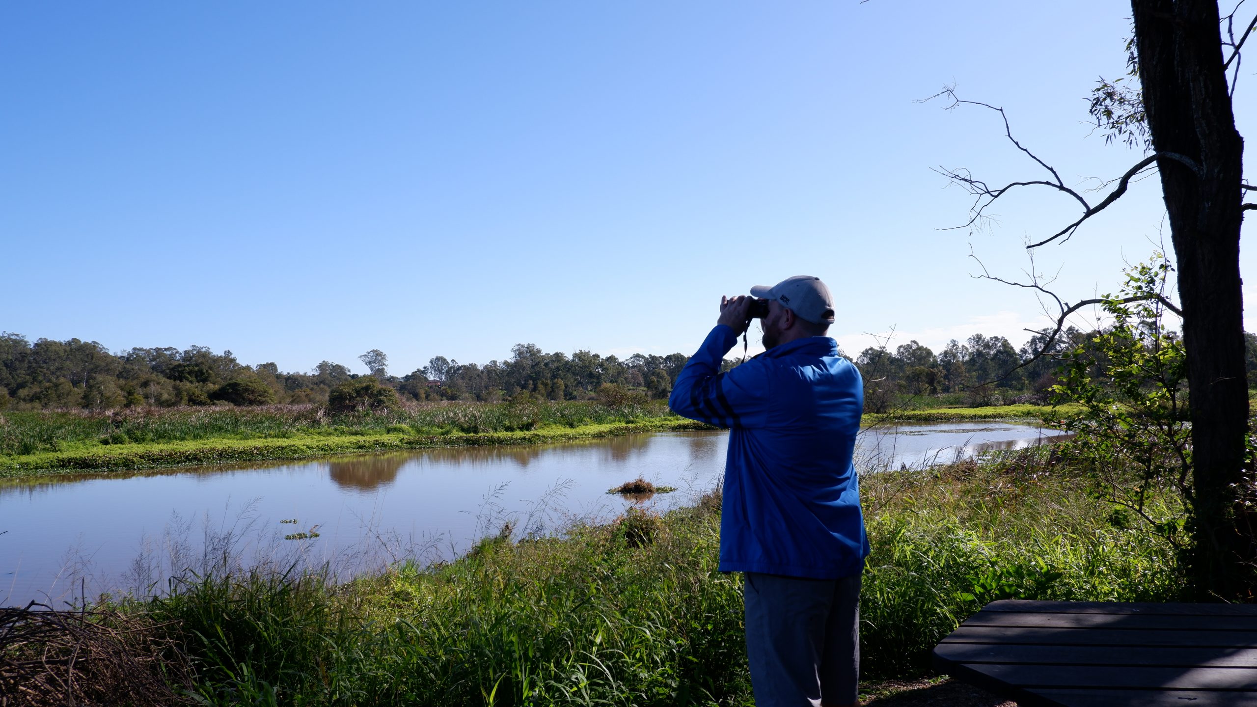
With the first stage of Warril Parkland now complete, there are future opportunities to expand the parkland to include the three lakes that form part of Oxley Creek, located approximately 400 m northwest of the playground picnic area. Potential future outcomes include:
- a visitor and/or community centre
- an event and activity lawn
- non-motorised watercraft launching facilities
- canoe and kayak paddling area
- bird watching facilities
- bushwalking, cycling and horse-riding trails
- bike, canoe and kayak hire facilities
- complementary nature-based eco-tourism activities.
Glider Forest Reserve
Glider Forest Reserve is located on the eastern side of Paradise Road, opposite Warril Parkland. Nestled within the Glider Forest Reserve, in the south-western suburb of Larapinta, this revitalised trail network offers over six kilometres of scenic gravel trails perfect for walking, biking, and bird watching.
Learn more
More about the Oxley Creek Transformation Project
Visitor information
Address:
1059 Paradise Road, Larapinta, Brisbane
Parking:
56 car parks, 2 accessible car parks, and 2 bus parking bays.

